
Literary Lab
The Stanford Literary Lab discusses, designs, and pursues literary research of a digital and quantitative nature. The Lab is open to all students and faculty at Stanford – and, on an ad hoc basis, to students and faculty from other institutions.
Collaborative research projects range from dissertation chapters to courses, to individual or group publications, conference papers and panels, and even short books. Ideally, research will take the form of a genuine “experiment,” and extend over a period of one or two years.
Go to The Stanford Literary Lab
SHC Research Lab
The SHC Research Lab projects put advanced technology to work for humanities research using interpretative, qualitative methods. Projects are mostly long-term (3 yrs +), collaborative, and international in scope.
Current SHC Research Lab projects
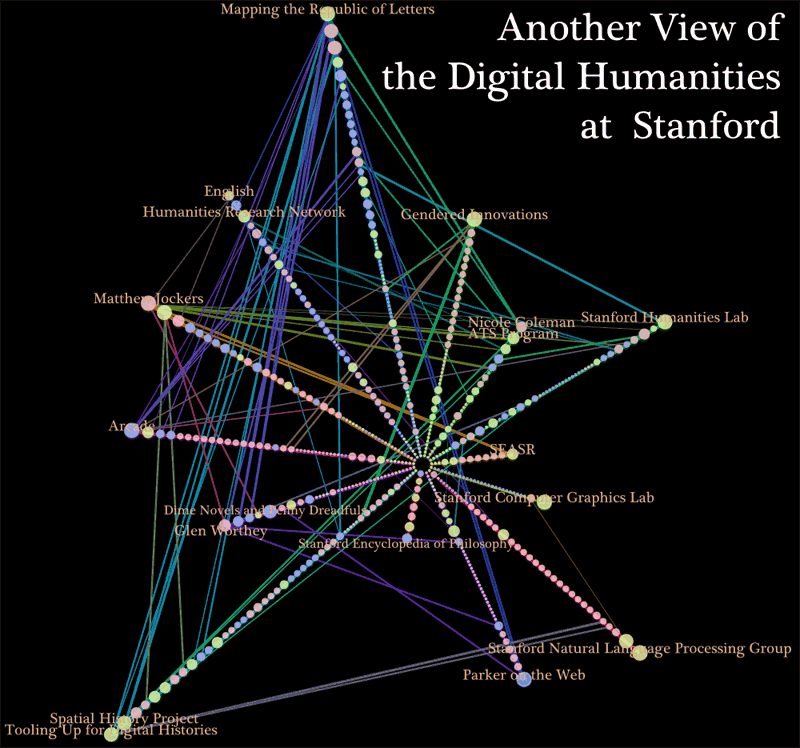
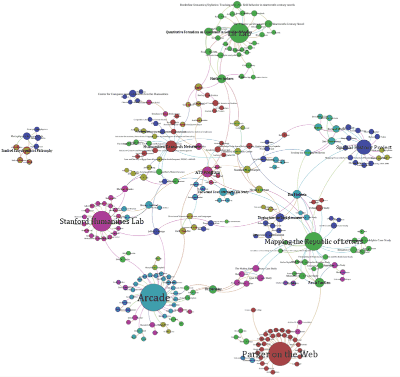
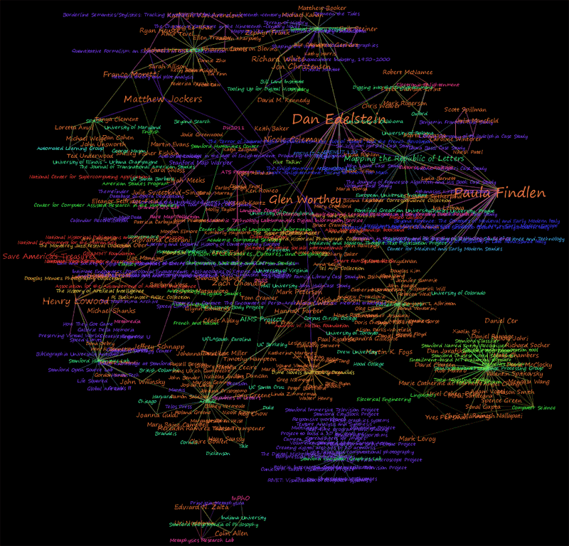
Mapping the Republic of Letters
With the help of advanced visualization techniques, this project is literally "mapping" the Republic of Letters, by plotting the geographic data for the senders and receivers of correspondences. These maps will allow researchers to perceive the larger patterns of intellectual exchange in the early-modern world and raise new questions about the importance of places, nations, and cities, in the circulation of knowledge.
Athanasius Project
Digital Republic of Letters
Spatial History Project
The project brings together scholars working on projects at the intersection of geography and history using Geographic Information Systems (GIS) in their research. The overarching goal of the Spatial History Project is to create dynamic, interactive tools that can be used across the spectrum represented by these research projects –from economic and technological changes, to social and political changes, and changes in science and the environment– and bring them all together to enable the creation of new knowledge and understanding of historical change in space and time and the possibilities for our present and future that may be found in the past.
Go to the Spatial History Project
Current Spatial History Project Research
How the West Was Shaped
Richard White, Margaret Byrne Professor of American History
This project is developing a large database and computer graphics tools to study and represent visually how people's experience of space and time was dramatically shaped by railroads in the North American West in the 19th century. The project aims to construct a dynamic cartographic model of these changes using historical railroad freight tables. The final product will be an interactive, and publicly available digital visualization of historic railroads capable of representing both absolute and relational space and a large database of geo-rectified materials as well as visualization tools available to other researchers.
Terrain of History: The Social and Cultural Geography of Nineteenth-Century Rio de Janeiro
Zephyr Frank, Assistant Professor of History
This project seeks to combine past efforts and enable future collaboration among three urban history/geography research groups. All three projects focus on detailed reconstructions of urban spaces and histories in Rio de Janeiro, Brazil, during the nineteenth century. When combined and, to the extent possible, harmonized along a common geospatial rubric, these three research projects will provide the most detailed and complete geohistorical archive ever assembled for a city in South America.
Critical Habitat: Interactive Digital Environmental History of California
Jon Christensen, Ph.D. candidate in History
This project is a re-examination of the history of the threatened Bay checkerspot butterfly as a test case for interactive digital environmental history. It relies on a new spatial and temporal analysis using a newly digitized database of records from a consortium of 16 academic herbaria in California, along with additional historical observations from the 19th century and early 20th century. This work is also part of a larger project and a set of collaborations exploring the creation of an Interactive Digital Environmental History of California.